
About Dataloy Distances
Simple, yet powerful, tool for calculating sailing routes and distances
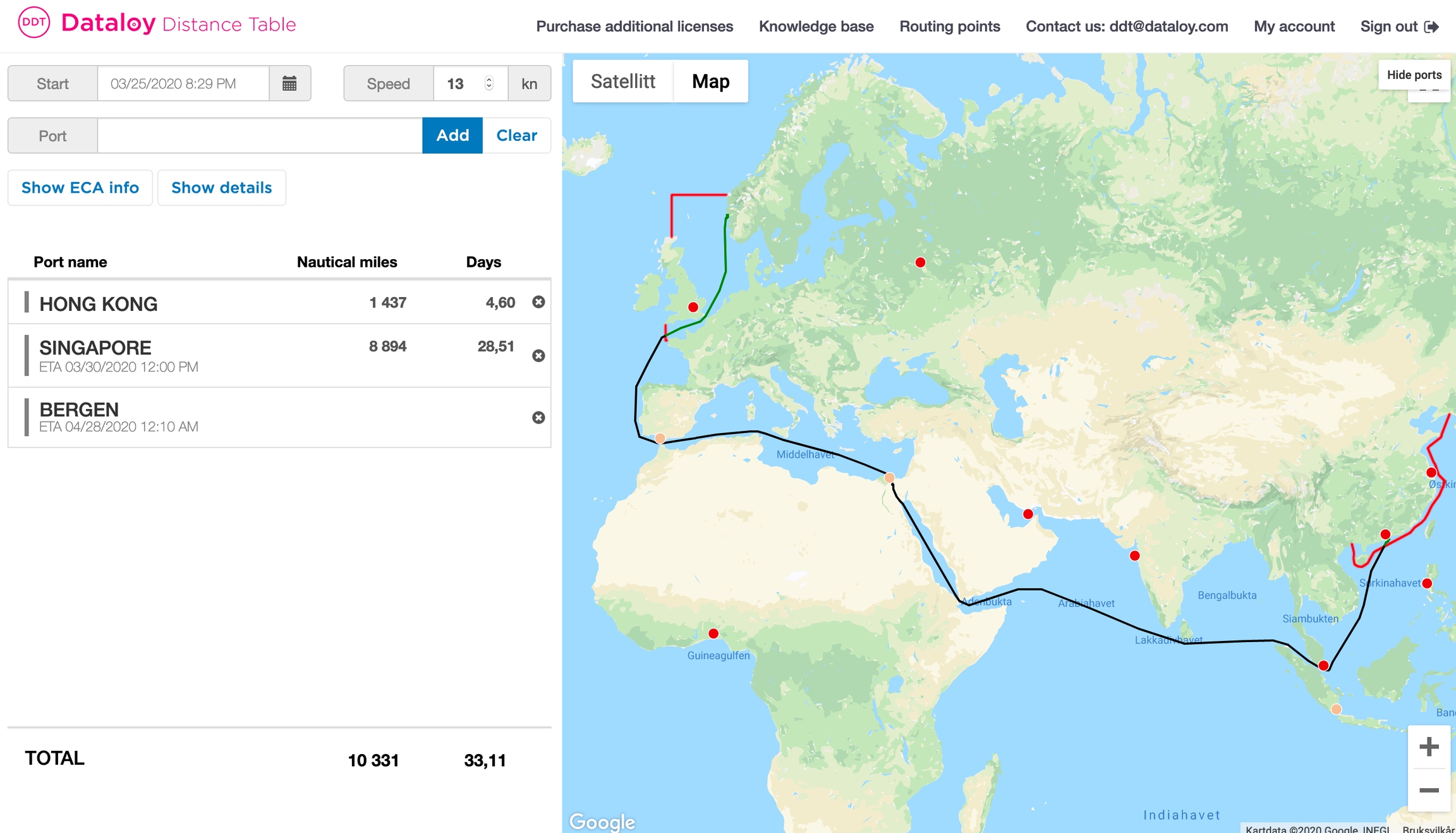
Dataloy Distances allows port and routing point searches when building sailing routes and is available to both commercial and non-commercial users. Sailing routes are presented graphically in a map and are based on analysis of possible routing options.
The "Dataloy Distances" is highly acclaimed for its extensiveness and accuracy.
Currently, Dataloy Distances holds more than 10,000 ports and maritime locations and the routes are a result of analysis of more than million of route segments effectively contributing to the accuracy of a calculation.

Automatic Emission Controlled Areas (ECA) avoidance.
Automatic High-Risk Area (HRA) avoidance.
Updated daily.
Irregular Routing or Missing Ports or Routing Points
If irregular routing is experienced - please contact Dataloy.
Ports and routing points are constantly added to the DDT. If a port or a routing point cannot be found - please contact Dataloy to request it added.
Was this helpful?